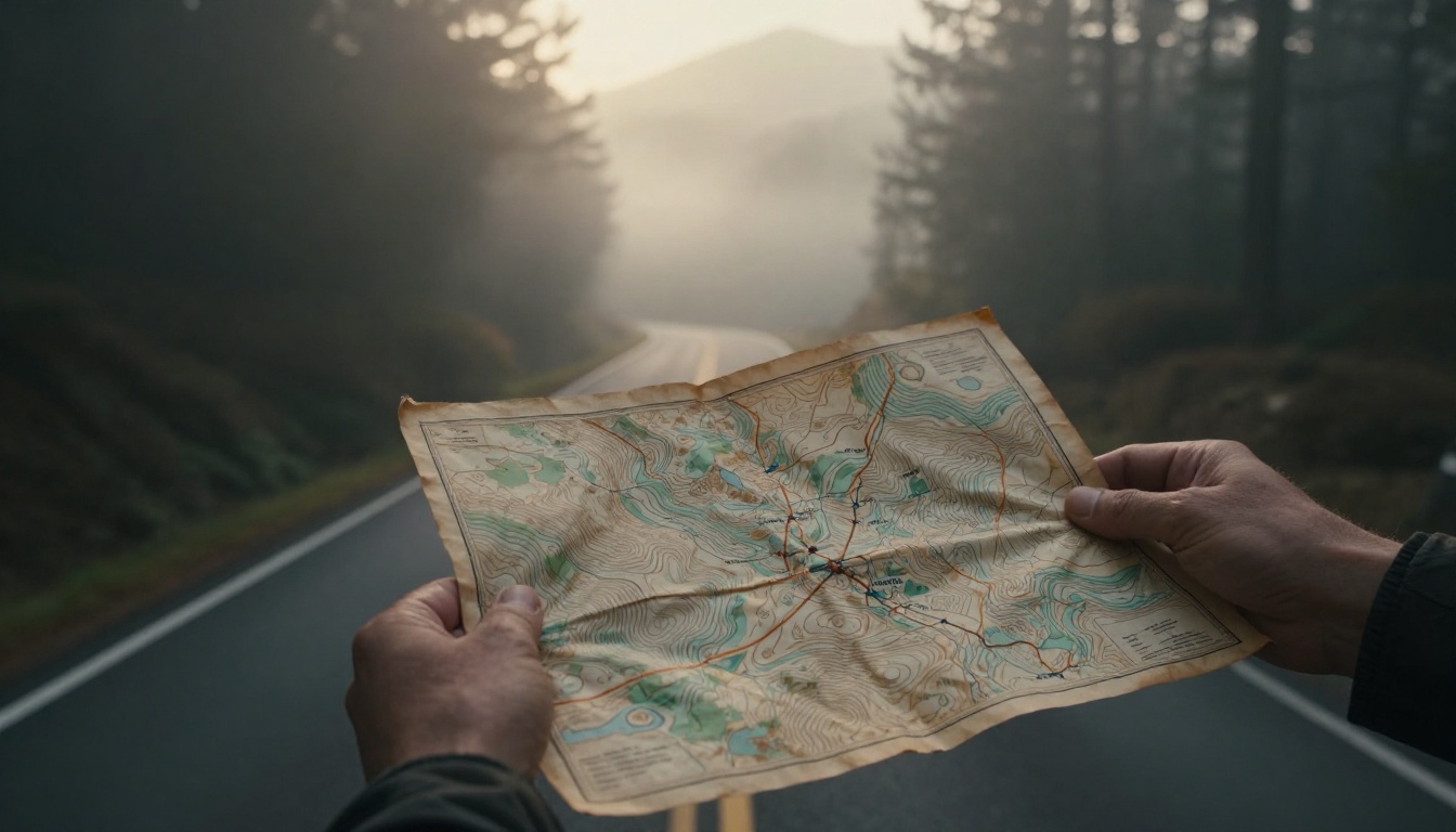
Imagine you’re on a road trip, phone battery dead, and fog rolls in thick. Panic sets in until you pull out a paper map and spot your route. That simple sheet saves the day. Even with GPS everywhere, map reading for beginners builds skills you need for hikes, emergencies, or fun treasure hunts.
Phones fail in remote spots or bad weather. Paper maps don’t. They work offline and teach you real navigation. Last summer, my friend Sarah hiked the Appalachian Trail. Her app glitched, but her topo map guided her safely home. You’ll learn what a map is, its parts, steps to read one, pitfalls to avoid, and practice tips. Plus, check 2026 updates like AR apps that blend paper and digital.
By the end, you’ll read maps with confidence. Let’s start with the basics.
What Exactly Is a Map? Get the Basics Down First
A map shows Earth’s surface on a flat page. It uses scale to shrink huge areas into something you hold. Maps capture shapes, sizes, and locations accurately. You pick the right type based on your goal, like driving or hiking.
Topographic maps reveal land details. Road maps guide travel. Political ones show borders. Each serves a purpose. Know them, and you choose wisely.
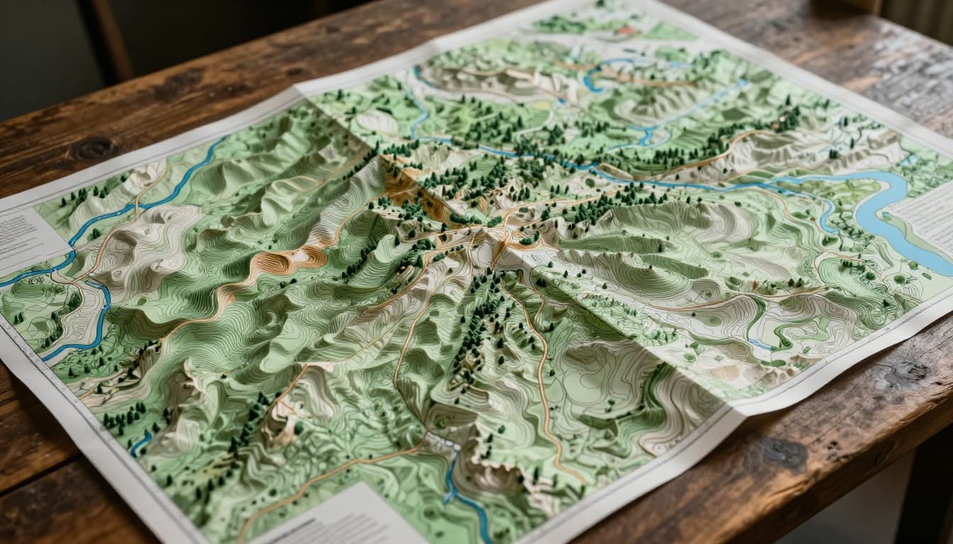
Topographic Maps: Seeing the Lay of the Land
These maps highlight terrain. Contour lines connect points at the same elevation. Close lines mean steep hills. Wide spacing shows gentle slopes. Rivers appear as blue squiggles. Roads slice through as thin black lines.
Hikers love them. They predict tough climbs or flat paths. Forests show in green patterns. For example, plan a trail by tracing contours around a peak.
Check how to read topographic maps for backcountry hiking for more examples. These tools prevent surprises on your next outing.
Road and Political Maps: Navigating Cities and Countries
Road maps focus on streets and highways. Thick lines mark interstates. Dashed ones show local roads. They help you drive to grandma’s house without wrong turns.
Political maps outline countries, states, and cities. Borders appear as solid lines. Capitals get stars. Use them to understand regions, like spotting state lines on a cross-country trip.
In short, match the map to your need. Road for trips. Political for big-picture views.
Spot These Key Features to Unlock Any Map
Every map has tools to decode it. Start with the legend. It explains symbols and colors. Next, scale measures distances. Compass rose shows directions. Grid lines pinpoint spots.
Master these, and maps make sense fast. Practice on a local map. Point them out before diving deeper.
Legend and Symbols: Your Map’s Secret Code
The legend acts like a dictionary. Blue means water, like lakes or oceans. Green shades mark forests. Dots represent cities; bigger dots mean larger populations.
Roads use line types: solid for paved, dotted for dirt. A house symbol flags campgrounds. Without the legend, symbols confuse. Always check it first. For instance, a squiggly blue line signals a stream, not a road.
Learn more in this guide to map symbols, scale, and directions. It breaks down common codes simply.
Scale and Compass Rose: Measure and Orient Yourself
Scale compares map to reality. A bar shows “1 inch equals 5 miles.” Grab a ruler. Measure your route for time estimates.
The compass rose points north, often at the top. Lines mark N, S, E, W. Align it with your surroundings. Hold the map flat. Turn until map north matches real north. Now directions match.
Grid Lines: Pinpoint Exact Locations
Grids use latitude and longitude, like Earth’s addresses. Latitude runs horizontal; 40°N means 40 degrees north of equator. Longitude goes vertical; 75°W is 75 degrees west of Greenwich.
Find intersections. 40°N, 75°W lands you near Philadelphia. Coordinates help share spots exactly. Apps use them too.
Read Any Map Like a Pro: Your Step-by-Step Guide
Follow these steps every time. They work for any map. Picture a hike: you need the trail from camp to viewpoint.
Hold the map landscape-style, north up. Use your finger to trace. Match it to landmarks outside.
Step 1: Start with the Title and Legend
Read the title. It names the area, like “Yosemite National Park.” Scan the legend. Note symbols for trails, water, peaks. Know what blues and browns mean now.
Steps 2-4: Scale, Directions, and Finding Your Spot
Check scale. Your 2-mile hike shows as inches. Locate compass rose. Orient north. Find grids. Mark your start at 37°N, 119°W.
Steps 5-6: Follow Routes and Align with Reality
Trace the path with finger. See a river crossing? Spot it ahead. Turn map to match view. A hill on map right appears right outside. Adjust as you go.
Practice this sequence. It builds speed.
Dodge Beginner Mistakes and Practice to Get Good
Newbies often skip the legend. They guess symbols wrong. Or ignore scale, thinking routes short. Maps upside down confuse directions. Grids get overlooked, so spots blur.
Fix them quick. Always check legend first. Measure distances. Orient north. Use grids for precision.
Top Slip-Ups Newbies Make and How to Fix Them
Common errors include mixing blue lines for roads instead of water. Solution: pause and decode.
Forgetting to rotate map leads to left-right swaps. Hold steady, align north.
Scale slips make trips longer than planned. Ruler in hand solves it.
Fun Ways to Practice Map Reading Today
Draw your room’s map. Add furniture symbols. Walk neighborhood routes. Compare paper to reality.
Try treasure hunts. Hide clues by coordinates. Kids love it.
In 2026, hybrid tools shine. Scan paper maps for AR overlays. Google Maps Live View adds arrows to camera feeds. Esri updates let you print dynamic maps with feet/miles.
See ArcGIS Field Maps’ new features for hybrid workflows. They blend paper reliability with digital smarts. AI fixes GPS indoors. Wide AR views in apps feel natural.
Start small. Local park map first. Build to trails.
Maps sharpen adventures and boost safety. You’ve got the tools: basics, features, steps, fixes. Grab a local topo or road map. Plan a short walk. Trace your path, orient it, go.
Share your first success in comments. Felt lost? Not anymore. Subscribe for more guides on outdoor skills. Happy mapping.
(Word count: 1,482)