Imagine you’re planning a weekend hike in the Rockies. You spot a trail that looks short on your phone screen. You pack light and head out. Hours later, blisters form because that “short” trail stretched five miles, not one. Map scale caused the mix-up. It shows the ratio between a distance on the map and the real-world distance it represents.
You see this ratio everywhere, from paper atlases to GPS apps. Without it, maps turn confusing. People misjudge trips, planners botch projects, and drivers take wrong turns. In 2026, apps blend scales smartly, but basics still rule.
This guide breaks down map scale types, real-life wins, traps to avoid, and fresh digital perks. You’ll learn to read any map right. That means safer hikes, quicker drives, and smarter plans. Let’s start with the basics.
The Core Idea of Map Scale and Its Three Key Types
Map scale matches flat map distances to ground reality. Think of it as a shrink recipe. A 1-inch line might mean 1 mile outside. Scales split by detail level. Large scales cover small areas with fine points, like 1:24,000 for local hikes. Small scales show big zones with less detail, such as 1:1,000,000 for countries.
Three main types exist. Each fits different needs. Verbal uses words. Ratio shows fractions. Graphic draws bars. Pick based on your task.
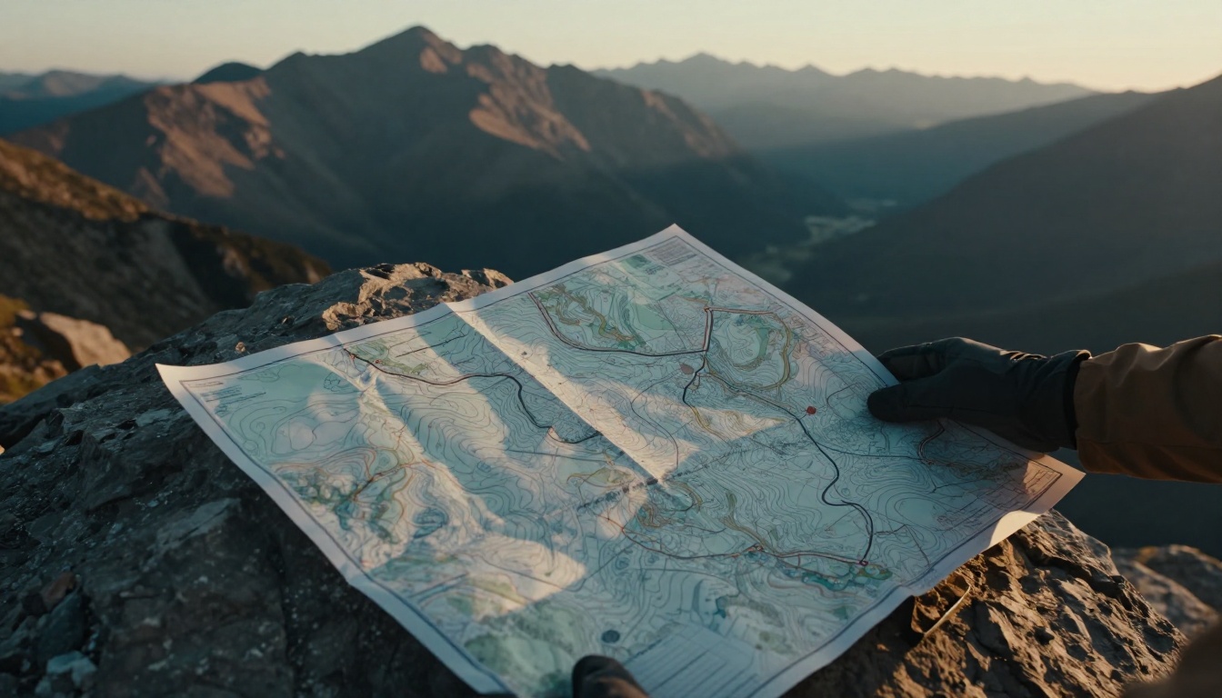
They work together too. A map might mix them for ease. Benefits include quick reads and error checks. For example, hikers grab USGS topographic maps at 1:24,000 scale for trails. These reveal streams and hills clearly.
| Scale Type | Best For | Example | Pro | Con |
|---|---|---|---|---|
| Verbal | Casual looks | 1 inch = 10 miles | No math | Fails if copied |
| Ratio | Precise work | 1:50,000 | Unit-free | Needs calc |
| Graphic | Quick measures | Bar line | Zoom-proof | Less exact |
This table sums choices. Now, let’s unpack each.
Verbal Scales: Words That Make Distances Easy to Grasp
Verbal scales state facts plainly. You read “1 cm equals 15 km.” No fractions or tools needed. Beginners love them for road trips or atlases.
They shine in print. Grab a gas station map. It says “1 inch to 50 miles.” Measure your route fast. Pros include simple math. You multiply straight. However, copies distort them. A photocopy shrinks words wrong.
Still, they build confidence. Parents teach kids with these. In short, verbal scales cut confusion for everyday use.
Ratio Scales: Fractions That Reveal Detail Levels
Ratio scales use numbers like 1:24,000. The map’s 1 unit matches 24,000 real units. Smaller denominators mean more detail. So 1:10,000 beats 1:1,000,000 for close views.
USGS topo maps often hit 1:24,000. They pack elevation lines and paths tight. Pros stay unitless. Measure in inches or cm; ratio holds. No conversion headaches.
Hikers pick these for accuracy. A 1:24,000 sheet shows cliff drops. Planners scale up for overviews. Keep it simple: smaller bottom number, bigger picture.
Graphic Scales: Your Go-To Visual Measuring Tool
Graphic scales draw bars like rulers. Lines mark 0, 1 mile, 2 miles. Slide your finger along any route. Eyeball distance easy.
They sit at map bottoms often. Best part: they resist changes. Zoom a digital map, bar adjusts. Stretch paper, it still works. Measure a winding trail visually.
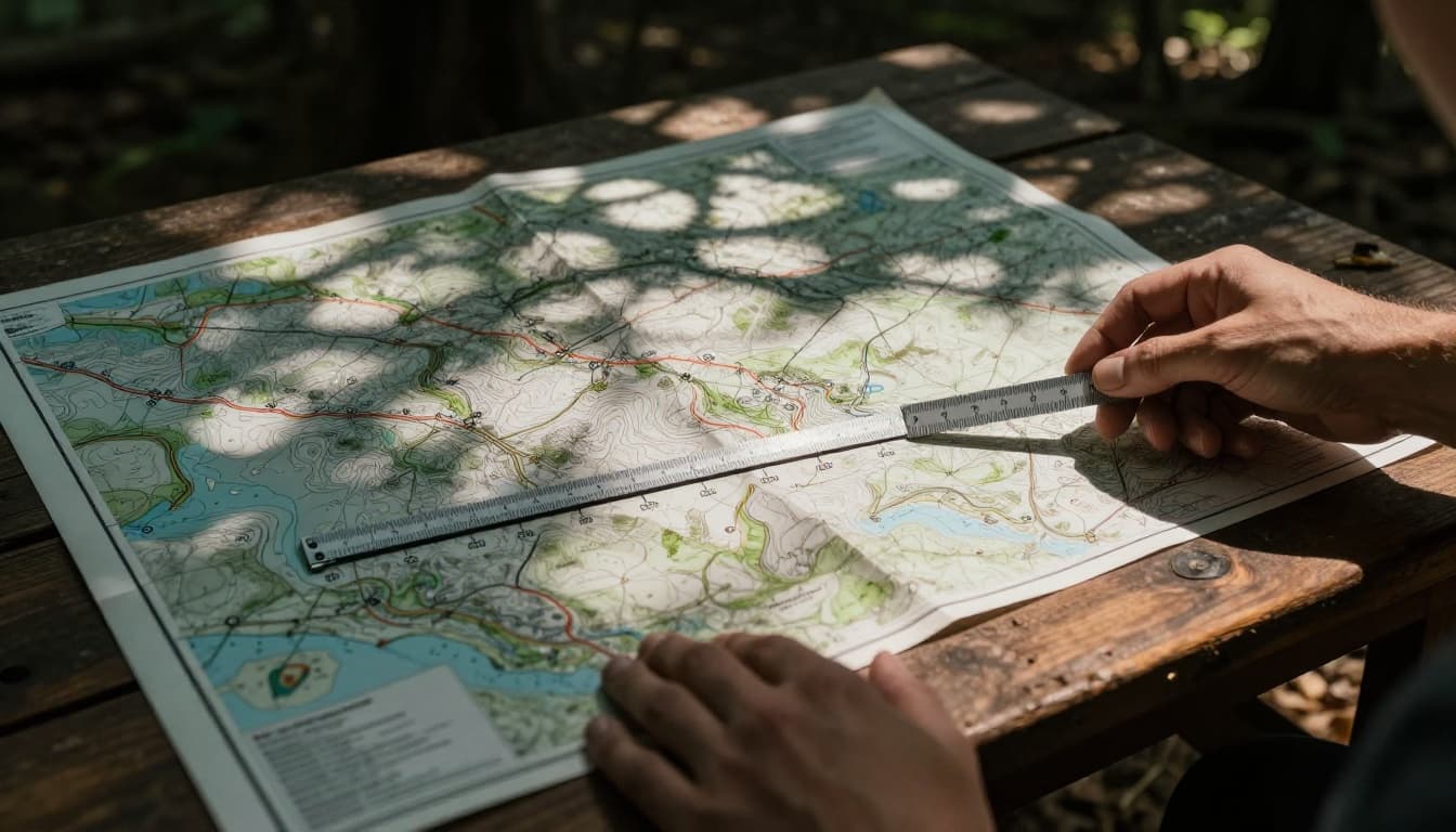
This tool fits all maps. Digital apps add them live. You gauge turns quick. Above all, graphics speed checks without fuss.
Why Mastering Map Scale Powers Better Navigation and Planning
Scale turns maps into tools. It helps guess travel time and spot risks. Pick wrong, you wander lost. Right choice saves hours.
Hikers judge paces. At 1:24,000, trails show steep bits. Drivers see city jams via scales. Planners switch views smooth. In 2026, apps auto-pick scales. Google Maps zooms smart with graphic bars plus verbal notes.
You stay safe. A bad read misses cliffs. Good scale spots them early. Benefits stack: less stress, more fun.
Essential for Hiking Trails and Road Trips
Hikes demand detail. Use 1:24,000 topo maps. They mark elevation changes. Multiply scale by your speed for time estimates. Three mph times two map inches equals six real miles.
Road trips need balance. Medium scales like 1:100,000 show highways clear. Wrong scale? You underestimate curves. Real fix: check bars first. Then plan stops smart.
Key Tool in City Design and GPS Tech
Cities use scales by need. 1:5,000 zooms on blocks. 1:100,000 views traffic flow. Designers layer them.
GPS apps in 2026 adapt fast. Google Maps offers immersive views with auto-zoom. It shows lanes ahead via AI. Apple Maps blends 3D previews and dynamic legends. Scale shifts for streets or highways. You see speed limits and hazards live.
Phone zooms reveal details instant. No manual picks. Drivers pick routes with EV stops or toll skips.
Pitfalls to Sidestep for Spot-On Map Reading
Errors sneak in easy. Even pros trip. Fix them, read true.
Top issue: large versus small mix-up. Large scale (1:10,000) details small spots. Small scale overviews broad land. Flip that thinking.
Distortions hit world maps too. Earth curves flatten odd near poles. Scales bloat there.
| Mistake | Why It Happens | Quick Fix |
|---|---|---|
| Large/small flip | Smaller number seems less | Denominator rules detail |
| Earth curve ignore | Flat maps stretch | Use local scales |
| Math slip | Wrong multiply | Double-check units |
Follow these, stay sharp.
Flipping Large and Small Scale Meanings
People think smaller fraction means less info. Wrong. 1:5,000 packs more than 1:500,000. Focus on the bottom: low number, high detail. Train your eye on examples.
Overlooking Distortions on World Maps
Global maps warp poles big. Greenland looks huge. Stick to bars; they adjust. For US hikes, local topos dodge this.
Everyday Examples and 2026 Trends to Watch
City tours use verbal: “1 inch to 2 miles.” Hikes grab ratio 1:24,000. World views take small ratios. GPS shows graphics live.
In 2026, apps fuse types. Google Maps auto-zooms with elevation contours at 20 meters. Ask for pasta spots; it scales traffic views. Apple Maps previews 3D routes with lane guides.
AI picks best scale by mode. Hike view cranks detail. Drive widens ahead. Trends point to context smarts. You’ll navigate effortless.
For more on scales, check this guide to map scale types.
Wrapping Up Map Scale Mastery
Map scale links paper to paths. Its types, verbal words, ratio fractions, and graphic bars, fit every need. Master them for safe trips and smart plans. Dodge flips and distortions too.
Grab a USGS topo or app now. Measure a route. Zoom in 2026 style. Why bother? Confident steps beat lost hours. Your next adventure starts clear. What’s your go-to map tool?