You step off the plane in a new city. Eager to explore, you grab a public transport map at the station. But lines tangle like spaghetti, colors blur, and symbols confuse you. Suddenly, you’re lost, late, and stressed. That happened to me in Tokyo years ago. I boarded the wrong train and circled Yamanote Line for an hour.
Public transport maps save time, cut costs, and reduce hassle on buses, trains, or subways worldwide. They work the same way in 2026 as always. Master them, and you hop on confidently. This guide breaks it down. You’ll learn to decode colors, lines, and symbols. Then trace routes step by step. Next, spot mistakes beginners make. See examples from New York, London, Paris, and Tokyo. Finally, boost skills with apps. By the end, you’ll read any map like a local.
Decode Colors, Lines, and Symbols Like a Local
Public transport maps use simple tricks to show routes fast. They bend lines for clarity, not real geography. Think of it as a recipe, not a photo. Colors mark lines. Stay on the matching color to reach your stop.
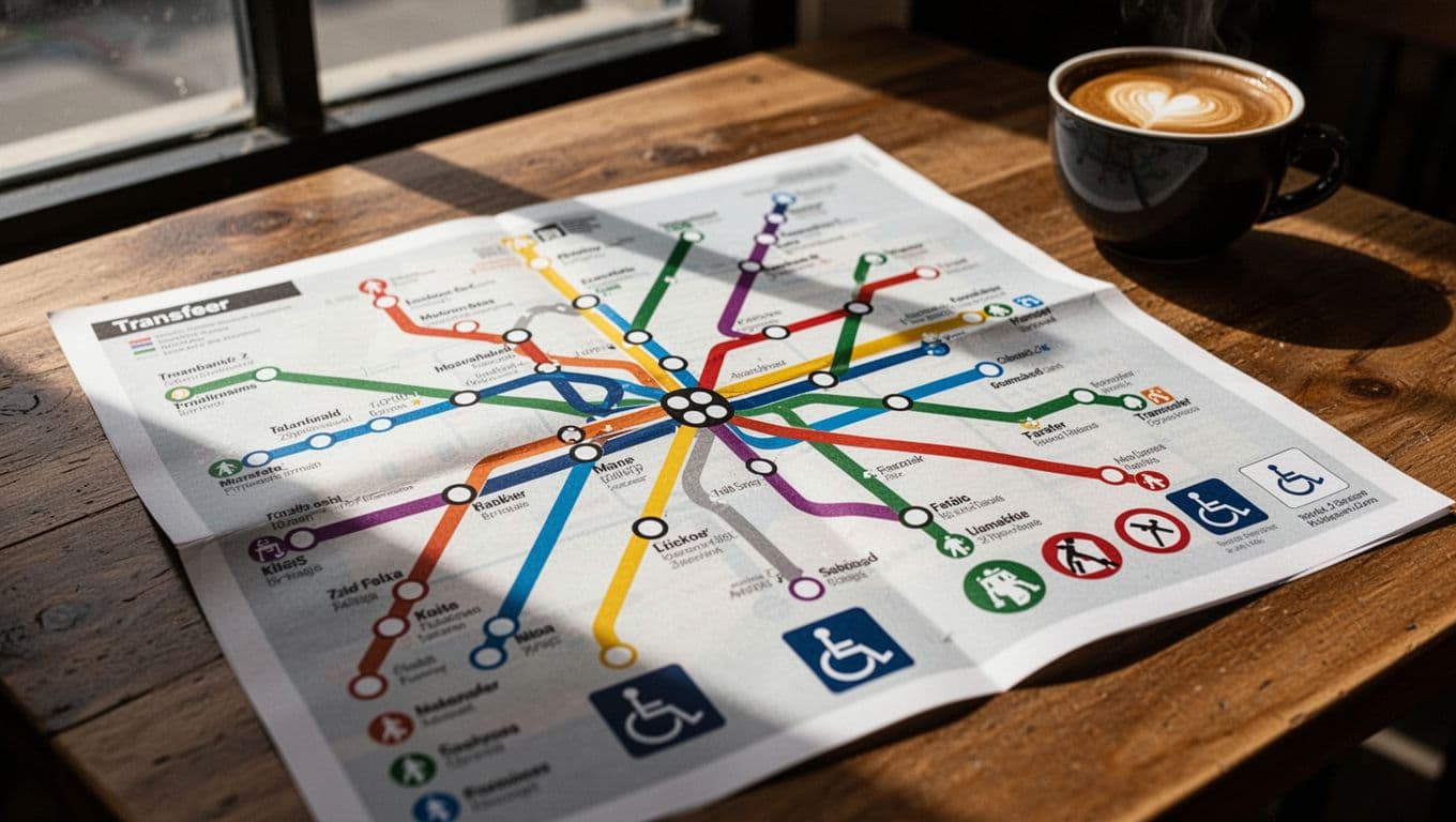
Lines vary by type. Solid lines run full time. Dashed ones operate part days or hours. Thick lines mean major trains or metros. Thin ones show buses or trams. Stations appear as dots or circles. Open dots signal express stops. Filled ones mean local service.
Key icons help too. A T or box marks transfers. Wheelchair symbols note access. Zones number areas for fares; higher numbers cost more. For a full list of these transport map symbols, check reliable guides.
Use this quick checklist. First, match your line color. Second, check solid or dashed. Third, note thick or thin. Fourth, spot station types. Fifth, find transfers and zones. Practice once, and it sticks. Confidence grows because you see the logic.
Match Colors and Spot Line Types Instantly
Each line owns one color. Blue line? Board the blue train. Simple rule. Follow it end to end.
Solid lines run always. Dashed skip nights or weekends. Thick lines handle crowds on rails. Thin suit lighter buses. For example, a solid thick blue line means full-day metro service. Spot these in seconds. Your trips stay smooth.
Identify Stations and Key Icons at a Glance
Stations show as circles or dots. Big ones mean major hubs. Letters or numbers mark timed stops.
Wheelchair icons confirm ramps. Zones divide fares; stay in one to save cash. Transfers cluster at T spots. Glance once. Know access and costs upfront.
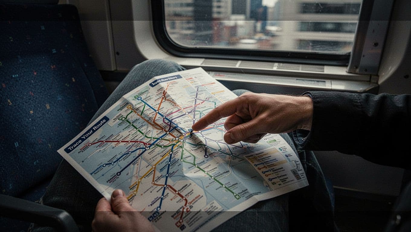
Trace Your Route: Directions, Stops, and Transfers Made Simple
Start with your spot. Find the nearest station. Trace the color line to your goal. Count stops, not miles. Maps stretch for clarity.
Arrows point directions. End labels say “Downtown” or “Airport.” Check first and last trains. Add 5 to 10 minutes for walks. Download offline maps ahead.
Here’s a sample. You’re near Central Station, heading to Market Square. Blue line goes there. Your station is stop 3. Trace blue to Market, count three dots. Board toward “North End.” Done.
Practice this flow. Locate self. Pick line. Count stops. Note direction. Buffer time seals it.
Follow Arrows and Endpoints Without Guessing
Arrows show flow. One way north, other south. Endpoints label branches. Always check the legend. No guesses needed.
Plan Transfers and Timings Smoothly
Transfers sit at busy hubs. Count stops to the switch. Note schedules. Trains sync often, but verify. Miss one? Wait kills plans. Buffer covers it.
Dodge These Sneaky Mistakes Every Beginner Makes
Beginners mix colors. They hop red when blue fits. Fix: double-check your line shade.
Many ignore dashes. They expect late-night service. Result: long waits. Solution: confirm run times first.
No time buffer bites hard. Walks or delays add up. Always pad 10 minutes.
Wrong zones jack fares. Cross numbers without noting. Buy right ticket upfront.
Maps fool as road views. Lines curve wrong. Remember: connections matter, not bends.
Pitfall: Color confusion. Fix: Trace from your dot.
Pitfall: Dash oversight. Fix: Check legend times.
Pitfall: No buffer. Fix: Add walk padding.
Spot these. Save stress in new cities.
Real-World Maps: Quick Lessons from New York, London, Paris, and Tokyo
Maps share rules worldwide. See how in top cities.
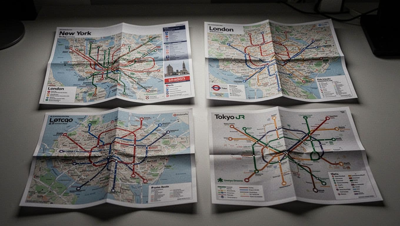
New York Subway uses letters and numbers. A line is blue, express skips stops. 1 is red, local halts everywhere. MTA’s 2026 map guide explains locals versus expresses.
New York Subway: Colors and Express vs Local
Blue A zooms express. Red 1 stops often. Dots mark stations. Letters note locals.
London Underground: Branches and Shared Lines
Bakerloo runs brown. Circle and District share green. Arrows split branches. Check Tube map details for shares.
| City | Key Lines | Standout Feature |
|---|---|---|
| New York | A (blue), 1 (red) | Express dots skip locals |
| London | Bakerloo (brown), Circle (green) | Shared colors, branch arrows |
| Paris | 1 (yellow), RER (thick) | Numbers, end stations direct |
| Tokyo | JR Yamanote (loop, thick) | Circle route, frequent stops |
Paris numbers lines. 1 is yellow to La Defense. Thick RER crosses suburbs. Follow ends. See Paris metro tips.
Tokyo’s JR Yamanote loops thick green. Hits Shibuya to Shinjuku. Clockswise or not. Yamanote guide covers stations.
These prove basics apply everywhere.
Supercharge with 2026 Apps and Tech Tricks
Apps make maps alive. Google Maps leads with live times and offline downloads. It tracks buses, trains, subways in real time. Set arrive-by goals. Get off alerts ping you.
Citymapper shines in big cities. Real-time mixes bus, walk, bike. Disruption alerts save hours. Transit adds next departures and delay notices.
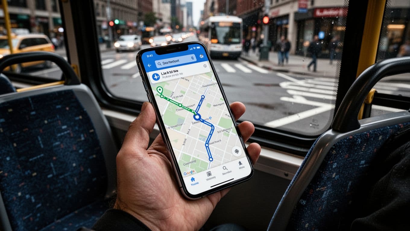
In March 2026, Google added better 3D views for routes. Citymapper pushes Go notifications. Transit compares options fast. Download now. Add manual buffers. Backup with paper for nights.
Master maps first. Apps follow.
Key skills stick: decode symbols, trace steps, dodge errors, check city quirks, grab apps. Practice on your next ride. You’ll explore stress-free.
Share your lost story below. Download Google Maps today. Subscribe for more travel tips. Cities wait. Go ride confident.