
Ever tried finding a coffee shop with your phone’s map? You punch in the address, and boom, directions pop up. No more circling lost blocks. That’s GPS at work, a satellite system that pins your spot on Earth.
But how does it know exactly where you stand? GPS grabs signals from space to crunch your position. Beginners often wonder because it feels like magic. You avoid wrong turns, hike safely, or road trip without stress. In short, it simplifies life.
Think of GPS as cosmic Marco Polo. Satellites shout “Here I am!” and your phone yells back “Got you!” We’ll break it down. First, meet the main players: satellites, ground stations, and receivers. Next, see how trilateration turns signals into spots. Then, tackle accuracy hiccups and fixes. Finally, grab fun facts and peeks ahead. Let’s start.
The Three Main Players That Make GPS Tick
GPS relies on three key parts. They team up like a relay race. Satellites send info. Ground stations check it. Receivers in your gear do the math. Without all three, no location fix.
Over 30 satellites circle Earth right now. The U.S. Space Force runs them. In March 2026, they operate 31 satellites, mixing old and new models. These orbit 12,500 miles high. Each laps Earth twice a day.
Ground stations worldwide monitor everything. They fix errors and upload tweaks.
Your phone or car holds the receiver. It listens and calculates. Simple setup, big results.
Satellites: The Sky-High Signal Senders
Satellites act as lighthouses in space. Picture 31 of them, dotted across the sky. They broadcast nonstop. Each carries an atomic clock. That ticks super precise, down to billionths of a second.
These birds sit high up. At 12,500 miles, they see most of Earth. Solar panels power them. Antennas beam signals down. Every signal packs the satellite’s spot and time.
The Space Force keeps them healthy. They launched newer GPS III satellites recently. SV09 went up in January 2026. Newer ones boost power and jam resistance.
You need four in view for a fix. They circle in patterns. So your phone always sees some.
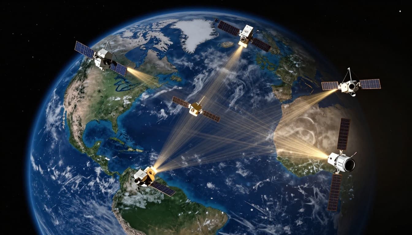
Signals travel at light speed. They reach you fast. Satellites shout their position too. That’s key for math later.
Fun vibe: like space mailmen, delivering location stamps every second.
Ground Stations: The Behind-the-Scenes Heroes
Ground stations watch the show. They track satellites 24/7. About 17 monitor sites plus antennas dot the globe. The master station sits in Colorado.
These spots listen to signals. They spot drifts or faults. Then, they send corrections up. Satellites get new data weekly.
For details on the control segment, check official maps. Stations spread across continents. They ensure clocks stay synced. Without them, errors build up.
Think mission control from movies. Teams called “Team Blackjack” run it. They keep GPS sharp for phones and planes.
Meanwhile, backups exist. No single point fails the system.
Receivers: Your Phone’s Built-In Navigator
Receivers grab the action. Your smartphone packs one. Cars and watches too. They tune into satellite frequencies.
Basic phones use a chip. It catches signals from multiple birds. Pro devices, like Garmin, lock faster.
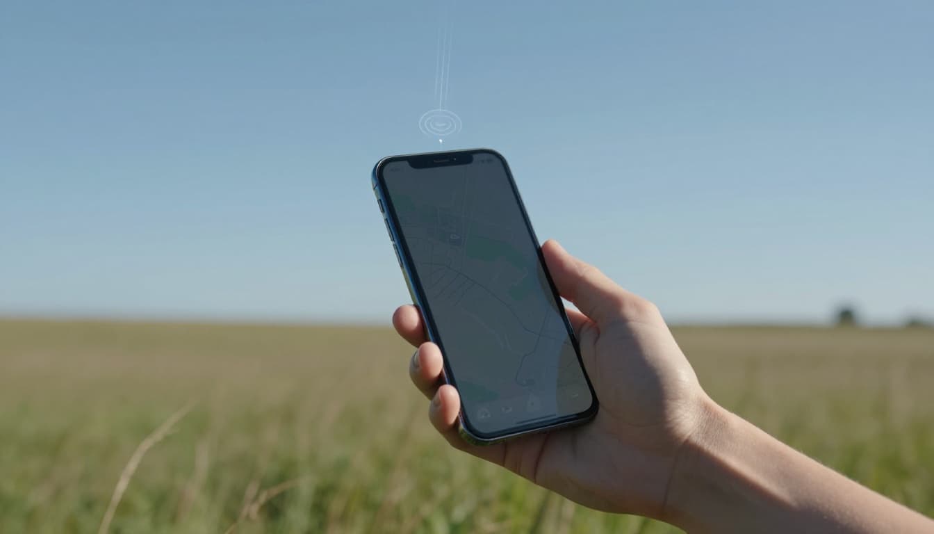
The receiver times arrivals. It knows light speed. So distance pops out. Your app shows the map.
In addition, phones mix GPS with Wi-Fi. That speeds indoor guesses. Still, satellites rule outdoors.
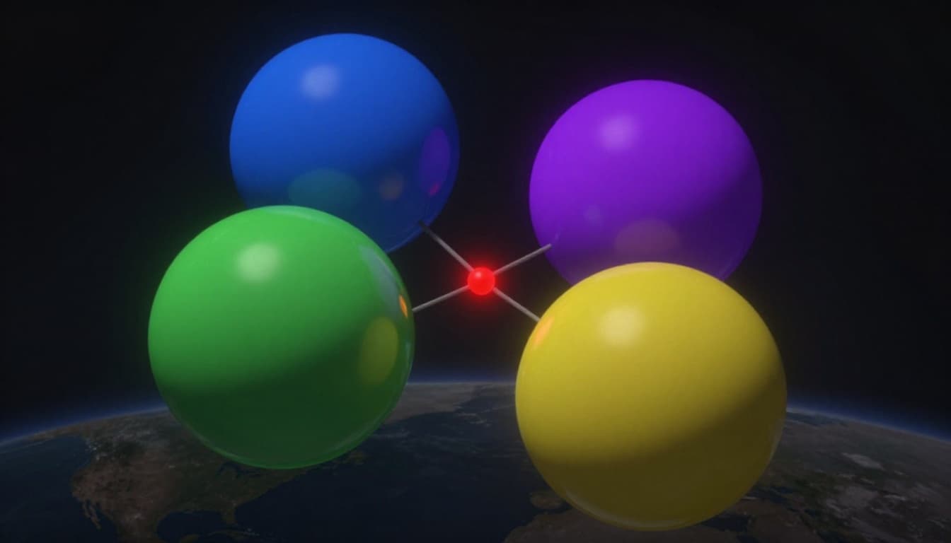
How Trilateration Turns Signals into Your Exact Spot
Trilateration solves the puzzle. It’s geometry with radio waves. Your receiver measures distances. Then overlaps them.
One satellite gives a huge circle. Where are you? Anywhere on it. Two narrow to points. Three pinpoints mostly. Four nails it in 3D.
Why four? Clocks drift tiny bits. The extra fixes time errors. Plus height above sea.
See a simple demo at GPS.gov’s trilateration page. They use string models for kids.
Analogy: friends in a park yell times. You pace distances. Intersections mark you.
Step 1: Timing Signals to Measure Distance
Satellites stamp signals with send time. Receiver notes arrival.
Light zips 186,000 miles per second. Multiply time lag by speed. Boom, distance.
No math needed here. Your phone handles it. Signals fly straight down mostly.
Step 2: Overlapping Circles Narrow the Search
First distance: big sphere around satellite. Second crosses it. Two points left.
Third sphere slices to one spot usually. But Earth’s curve tweaks it.
Visualize balls in space. Where they meet pins you.
Step 3: Four Satellites Seal the Deal
Fourth confirms. It solves height and clock offset.
Result: latitude, longitude, altitude. Plus exact time.
Most importantly, more satellites mean better fixes.
What Limits GPS Accuracy and Fixes for Better Results
Phones hit yards accuracy. Pro gear inches. But glitches happen.
Sky view matters most. Buildings block signals.

Atmosphere slows signals. Trees scatter them.
Top Reasons GPS Gets Confused
Blockages top the list. Tall buildings create canyons. Signals bounce, called multipath.
Trees or tunnels kill view. Indoors, forget it.
Interference from radios hurts. Clocks drift tiny, stations fix most.
Urban runs show short distances. Forests lag too.
Quick Ways to Improve Your GPS Game
Step outside first. Clear sky grabs more satellites.
Turn high accuracy mode on. It uses Wi-Fi help.
Update apps and firmware. Newer chips lock faster.
Phones now pull 10+ satellites. That’s gold.
Fun GPS Facts and What’s Coming Next
GPS started military in 1970s. Now civilians use free.
Atomic clocks beat heartbeats. Precision stuns.
As of March 2026, Space Force shifts launches to SpaceX for GPS III finals. SV10 eyes April liftoff. Details here.
Next, GPS IIIF adds anti-jam and updates. Constellation stays strong at 31 now.
Trivia: it guides planes, ships, your pizza delivery.
GPS boils down to satellites beaming timed signals. Your receiver uses trilateration for spots. Three players keep it humming.
Accuracy shines outdoors. Step out, update, and win.
Try a hike app today. Notice more satellites? Share in comments. What trips you up most? Subscribe for tech breakdowns. Tech like this puts power in your pocket.