
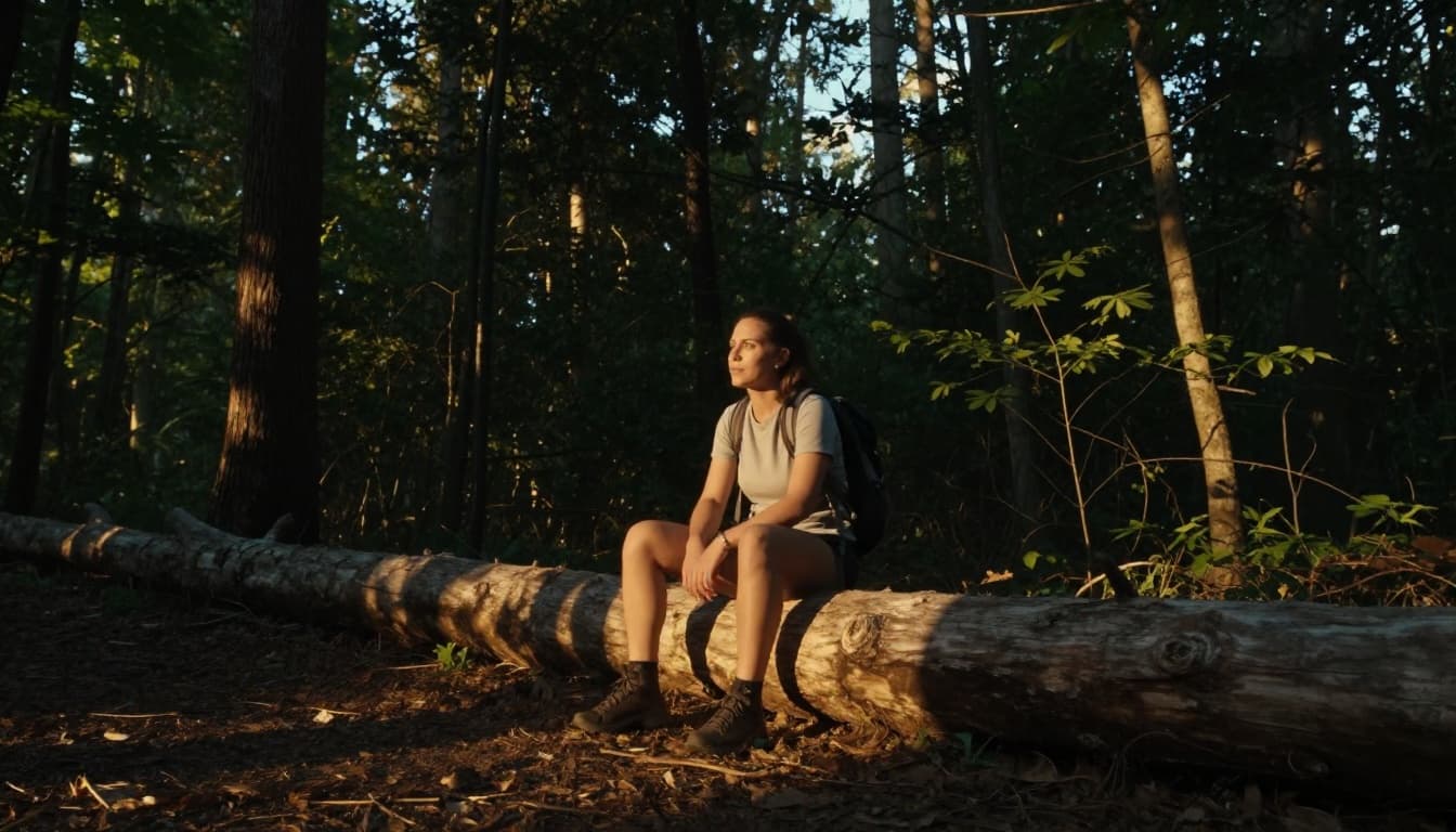
Picture this: you’re weaving through a crowded foreign market, scents of spices in the air, when your phone’s GPS glitches and spits you out onto a narrow alley you don’t recognize. Heart races, landmarks blur, and suddenly you’re lost in an unfamiliar area. It happens to seasoned travelers too.
Even with apps like Google Maps, hikers faced record rescues in 2025. GPS failed in rough terrain, leading young adventurers aged 18-24 to double their callouts, often chasing social media spots without backups.
What to do if you lose your way in an unfamiliar area starts with the STOP method: halt panic, think clearly, observe surroundings, then plan your next move. You’ll learn simple steps to stay calm, signal help safely, use tech wisely, and prep ahead, so you get back on track fast.
Hit Pause and Use the STOP Method to Regain Control
Lost? Your first move sets everything in motion. Experts from the National Park Service and hiking groups push the STOP method as your best bet. It beats blind wandering every time because panic sends you deeper into trouble. Instead, you halt bad choices right away. Safety pros say this simple steps keep rescuers on track to find you faster.
In 2026 advice, skip phone fiddling at first. Put it in airplane mode to save battery. No signal hunting or endless texts. That drain has doomed hikers to cold nights before. Sit down, breathe deep, and run through STOP instead.
Here’s how it breaks down:
- Stop: Freeze in place. Sit if you can. Your heart pounds, but deep breaths calm it. This stops you from straying farther.
- Think: Recall your last known spot. Any path, trail marker, or turn? Check for hurts too.
- Observe: Scan for clues. Sun position, sounds, smells, landmarks all help.
- Plan: Pick a safe action. Head to noise, uphill, or stay put. Mark your trail with sticks if hiking.
For more on this, check Survival Mom’s breakdown of the STOP method.
Why Stopping First Saves You Time and Worry
Panic walking turns small mix-ups into big problems. In 2025, hikers topped US rescues for the fourth year. Yosemite saw 247 cases, up from 191 before. New Hampshire hit 101, mostly young adults 18-29 getting lost. Colorado logged 2,800 to 3,000 yearly, often on easy paths.
Real stories show the risk. Two New York hikers on Colorado’s Torrey’s Peak panicked off route. They called 911, got phone tips, but lightning hit during rush down. Rescue needed a helicopter hoist. Another, Charlie Hush on Georgia’s Blood Mountain in late 2025, vanished after summit panic. Searches stopped, but family still hunts with drones.
STOP flips that. Stay put, and searchers use your last spot. No wild trails to chase. One lost Bend hiker in Oregon’s Ochoco Forest walked all night but got found safe near Lookout Mountain after alerts. Experts note it cuts rescue time because you don’t vanish deeper. You save energy too. Breath steady, think clear. That’s power.
Observe Clues Nature and Surroundings Give Away
Once stopped, look sharp. Nature drops hints everywhere. In rural spots, sun tells direction. Face it at noon for south in the US. Shadows point north. Follow water downhill; it leads to people often. Listen for traffic hum or rushing streams.
Urban changes the game. Spot crowds or lit roads. Distant horns mean civilization. Smell food trucks or exhaust. Roads slope to towns usually.

Rural hikers watch animal paths or old fences. Cities offer shop signs or bus stops. No repeats on full STOP, just sharpen your eyes. These cues build your plan next. You turn lost into found, step by smart step.
Tap into Apps and Gadgets That Guide You Home
After you STOP and spot clues, pull out your phone or gadgets next. Tech shines here because it pinpoints your spot fast. Yet signals drop in cities or woods, so prep offline modes ahead. Download maps now, share your location live, and set emergency contacts. These tools cut stress and speed you home. Most work without data if you plan right.
Must-Have Apps for City Streets and Remote Paths
Apps beat guessing every time. Google Maps rules urban spots with free offline downloads for US cities. It shows transit, walking paths, and traffic. CityMaps2Go fits pockets for quick city jaunts; grab 1,500-plus US maps free. Avenza leads outdoors with topo trails and satellite views for hikes. All track you without WiFi.
Prep takes seconds. For Google Maps, search your area online, tap download before you go. See Google’s offline guide for Android. CityMaps2Go auto-finds you; download from its site. Avenza needs map buys, but check the Avenza store for US topo packs.
Life360 shares your spot real-time with family. Noonlight taps police with location. STEP sends US gov alerts. What3Words gives rescuers three words for your exact 3-meter spot.
Here’s a quick comparison:
| App | Best For | Offline Feature | Top US Use Case |
|---|---|---|---|
| Google Maps | Cities, transit | Free area downloads | Driving, walking |
| CityMaps2Go | Urban tourists | FindMe GPS, free city maps | Sightseeing spots |
| Avenza | Hiking trails | Topo/satellite maps | Remote backcountry |
| Life360 | Family sharing | Live location, SOS | Group travel safety |
| STEP | Alerts | Embassy contacts, risks | US traveler notices |
Pros for Google: simple, updated often. Cons: big files eat storage. Avenza pros: pro-grade accuracy. Cons: costs for maps. CityMaps2Go pros: lightweight. Cons: less rural detail. Download tonight; test on short walks. Signal blackouts hit 30% of US rescues, so offline saves you.
Share ICE contacts in apps. Life360 sets them up easy at Life360.com. Live sharing lets others track you. Project calm while checking; don’t fumble in panic.
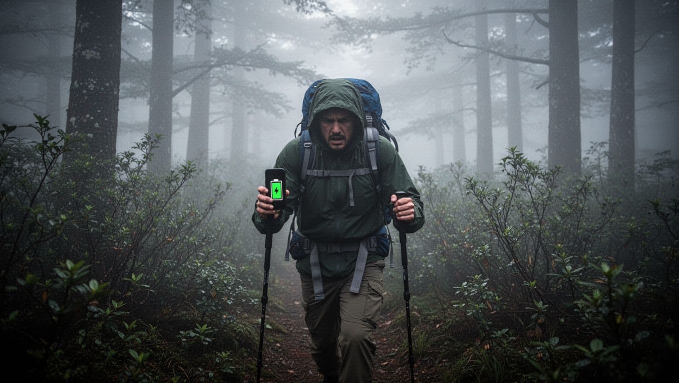
Backup Tools When Tech Fails You
Phones die or glitch, so pack backups. A compass points true north always. Hold level, align needle to north mark, then match direction to your goal. No batteries needed. Pair it with a paper map; fold to your zone, trace routes with pencil.
Power banks recharge fast. Get 10,000mAh ones; top off at 20% left. They work without signal, unlike apps. In woods, follow downhill streams on paper. Cities? Note bus numbers or street grids before battery fades.
Keep paper maps dry in ziplocks. Mark your start with X. Compass plus map beats apps in rain or dead zones. Hikers swear by them; 2026 data shows tech fails 40% in remote US spots. Charge nightly, carry two banks. These basics get you home safe when screens go dark.
Ask Locals for Directions the Safe Way
Apps fail sometimes. No signal hits even big US cities. That’s when locals step in. They know shortcuts and spots GPS misses. Approach them right, however, because tourist areas see distraction theft trends up in 2026. Thieves bump you or point away while grabbing phones. Pick safe helpers first. Stay confident. Share your spot with buddies via text before asking. This keeps you on track without risks.
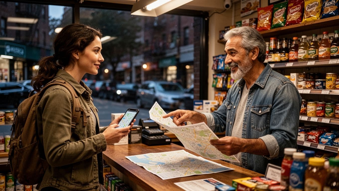
Spot Reliable Helpers and Phrase Questions Smartly
Choose helpers wisely. Go for shop owners or restaurant staff inside busy spots. They stay put and answer often. Families with kids work too; most folks help groups. Police officers top the list because they guide daily. Skip solo strangers on quiet streets, especially at night. Busy, lit areas cut risks.
Project confidence as you walk up. Stand tall, smile, keep hands visible. Say “excuse me” first. Then ask specifics to dodge vague nods. Don’t say “which way to downtown?” Instead, try “where’s the nearest metro station?” or “does this street hit Main Avenue?” Point to your phone map. That pins it down.
Get answers from two or three people. Compare them quick. If they match, go. Mismatches mean confusion ahead. For example, in New York tourist zones, ask hotel staff about subways. They point exact stops.
Share your location live first. Text buddies “at corner of X and Y, asking directions.” Set meeting spots pre-trip, like “coffee shop on Elm.” Know numbers beyond 911. Cities use 311 for info; rural spots dial local sheriff.
Trust your gut always. Sketchy vibes? Yell “back off” loud. Head to crowds fast. In 2026, apps like Sitata flag scams in tourist paths. Check Vagabond Journey’s tips on asking directions for more street smarts.
Keep valuables front-pocketed. No cash flashes. Stand inside stores to check maps safe. These steps get you home quick. You blend in, stay alert, arrive sure.
Prep Ahead and Dodge These Common Traps
You can avoid most lost moments with smart prep. Research your spot ahead, grab backups, and spot errors before they bite. Because tech fails and instincts fade, build habits now. Then, getting turned around stays short and simple. Confidence grows when you plan like a pro.
Sneaky Mistakes That Leave You More Lost
Common slips turn quick fixes into long nights. For example, hikers skip charging phones fully. One guy on Mount Tamalpais texted his wife as the battery died, then waited cold for rescuers. See this California hiker’s close call. Dead screens kill GPS fast, so charge to 100% daily and pack power banks.
Next, folks wander off-trail without a compass. A father and son in Utah’s Snow Canyon ditched the path chasing a nav app, survived overnight thanks to luck and a backpack. No compass meant no direction in the dark. Always pair paper maps with one; they work rain or shine.
Phone zombie walking tops the list too. You stare at the screen, ignore turns, and drift farther. A frustrated hiker pushes through fog like this, blind to clues.
Other traps include no offline maps, ignoring gut feelings, and vague directions. No prep downloads leave you signal-less. Gut ignores lead to sketchy spots. Broad asks like “where’s downtown?” confuse everyone.
Prep flips these. Enroll in the State Department’s STEP program for alerts on risks. Buy travel insurance covering evacuations; it pays rescuers. Snap landmark photos early, note them too. Join tours day one for local know-how.
In 2026, weather hits harder, with apps like Noonlight rising for solo safety. Check these solo travel apps. They share spots discreetly.
Practice lost drills at home. Walk a park blindfolded, then STOP and observe. Time yourself planning out. Do it weekly. These build speed and calm. Soon, you’ll handle real twists with full confidence.
Conclusion
You now hold the tools to handle any wrong turn. The STOP method calms you first. Then apps like Google Maps guide with offline power. Ask locals safely from busy spots. Prep beats common traps every time.
This combo works in cities or trails. Because you stay put, observe clues, and back up tech, detours end quick. Rescue stats drop when folks follow these steps. So you return safe, energy intact.
Share your closest lost story in the comments below. Pin this post for your next trip. Enroll in STEP today at travel.state.gov for alerts.
Your next adventure waits without the worry.
Quick FAQ
What if my phone dies completely?
Grab your compass and paper map. Follow water downhill or head uphill for help.
Is STOP only for hikers?
No. It fits urban alleys too. Stop, think, observe, plan anywhere.
How often should I practice?
Try weekly in a park. Build calm fast.