
Remember that road trip when your phone died and road signs vanished? You circled the same block for hours. Those days faded because coordinates now act as invisible guides. They form a global grid using latitude and longitude. Latitude measures north-south from the equator. Longitude tracks east-west from Greenwich.
This system turns any spot on Earth into an exact address. Pilots, sailors, and drivers rely on it daily. In this post, you’ll see how coordinates fuel GPS, apps, air and sea routes, plus everyday trips. You’ll learn benefits, fixes for glitches, and 2026 trends. Get ready for travel that’s precise and life-changing.
Breaking Down Coordinates: Latitude and Longitude Basics
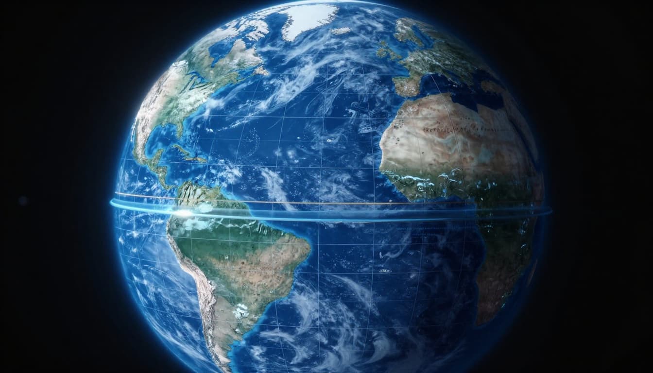
Coordinates work like a worldwide address book. Latitude runs horizontal from the equator. Longitude slices vertical from the Prime Meridian. Together, they create a grid for pinpoint spots. New York sits at about 40.7° N, 74° W. Degrees split into minutes and seconds for finer detail. One minute equals 6,076 feet at the equator.
This grid overlays maps perfectly. It ignores curves and borders. For basics on reading these lines, check Geography Realm’s guide to latitude and longitude.
Latitude: Your North-South Compass
Latitude starts at 0° on the equator. It climbs to 90° north or south at the poles. North latitudes stay positive. South ones go negative.
Think of lines as ladder rungs around Earth. They help predict weather. Near the equator, heat rules. Poles bring cold. For example, Miami at 25.8° N stays warm year-round. Higher latitudes mean shorter days in winter.
This north-south measure sets climate zones. It also gauges distance from home base.
Longitude: Pinpointing East or West
Longitude begins at 0° in Greenwich, England. It spreads to 180° east or west. Lines converge at poles like orange slices.
Sailors once struggled here. No good clocks meant lost positions at sea. Now, devices fix that instantly. Cross 180° and the date flips.
London clocks 0°. Los Angeles hits 118° W. This east-west pin helps time zones too.
How GPS and Mapping Apps Use Coordinates Daily
GPS grabs your latitude and longitude fast. Apps turn those numbers into maps and turns. You share spots with friends. Hikers find trails. Deliveries hit doorsteps.
Signals work anywhere with sky view. Phones pull data in seconds. No more folding maps.
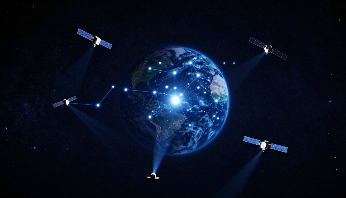
GPS Satellites: The Invisible Navigation Network
Over 30 satellites circle Earth. They beam signals nonstop. Your device hears at least four. Math triangulates your spot to centimeters.
Cars, boats, and watches carry receivers. They lock on orbits for exact coords. See Esri’s take on GPS satellite positions.
Apps Turning Coords into Simple Directions
Google Maps grabs your position. Punch in a spot. It plots the best path. Traffic jams trigger reroutes. ETAs factor speed.
Rivals like Apple Maps do the same. They update for construction too. Sharing live location keeps groups together.
Coordinates Keeping Planes, Ships, and Drivers on Course
Over oceans or trails, landmarks vanish. Coordinates provide backups. Planes follow waypoints. Ships use nautical miles, where 1° latitude equals 60 miles. Drivers get live tweaks.
Safety soars without visual cues.
Aviation: Flying Precisely Across Continents
Pilots enter lat-long waypoints. Flight computers link them. Paths stay shared and safe. Over water, errors cost lives. Coords prevent that. Details in ITAérea’s aviation coordinates overview.

Maritime: Navigating Vast Oceans with Confidence
Captains plot grids on charts. GPS confirms position. Stars offer backups via sun sights. One degree error means miles off course.

Land Travel: From Road Trips to Backcountry Hikes
Cars adjust for jams. Hikers track trails. Packages arrive exact. Apps blend coords with sensors.
Top Benefits: Why Coordinates Revolutionize Travel
Accuracy beats Earth’s curve. All transport shares the language. Real-time data saves hours. Rescues happen fast. Deliveries speed up.
Centimeter precision cuts wrong turns. Multi-satellites handle cities better. Travel shrinks as routes optimize.
Common Challenges and Smart Fixes for Coordinate Navigation
Tall buildings block signals. Errors hit meters. Formats clash, like decimal versus degrees-minutes-seconds. Poles warp grids.
Yet fixes work. Multi-GNSS adds Galileo and BeiDou. They pierce indoors. AI corrects drifts. By 2026, jams resist better with M-Code.
Future Trends: Coordinates Evolving Travel in 2026
New satellites launch via SpaceX. Centimeter accuracy rules. AI predicts traffic. Drones deliver precisely. Self-driving cars fuse coords and cameras.
AR glasses project routes. Visual positioning aids indoors. Explore GPS 2026 breakthroughs on LinkedIn.

Coordinates shifted travel from guesswork to grid mastery. Check your app’s lat-long next trip. Try offline GPS for hikes.
Share your best nav story in comments. Subscribe for more tech tips. Safer, quicker adventures await.