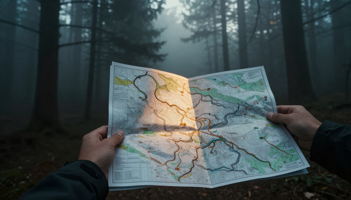
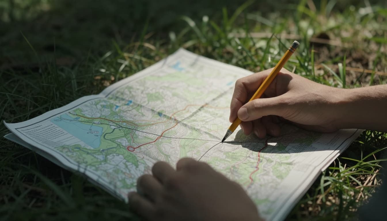
Picture this. You’re deep in the woods on a hike. Your phone dies. Panic sets in as trails fade. What if you could pinpoint your spot with simple numbers? A grid system on a map does just that. It overlays straight lines, much like graph paper, to mark exact locations.
These grids turn vague “over there’s” into precise coordinates. They help hikers find trails, surveyors plot land, and GPS apps guide you home. You get absolute positions, not just nearby landmarks. Navigation gets reliable. Surveys stay accurate. Even emergencies benefit from quick location shares.
This post covers the basics first. Then history, types, step-by-step use, examples, pitfalls, and 2026 updates. You’ll learn why grids matter and how to read them. Ready to turn any map into your best tool?
Breaking Down the Basics of a Map Grid System
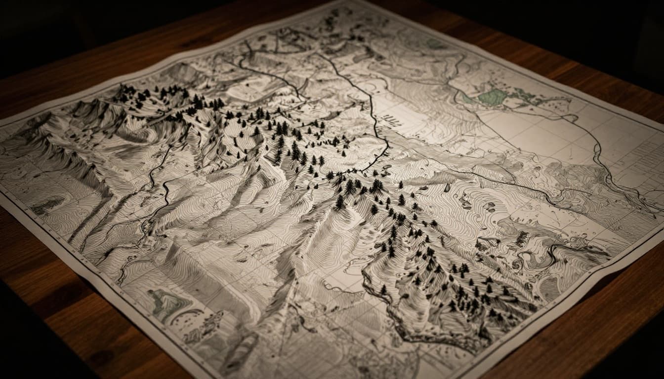
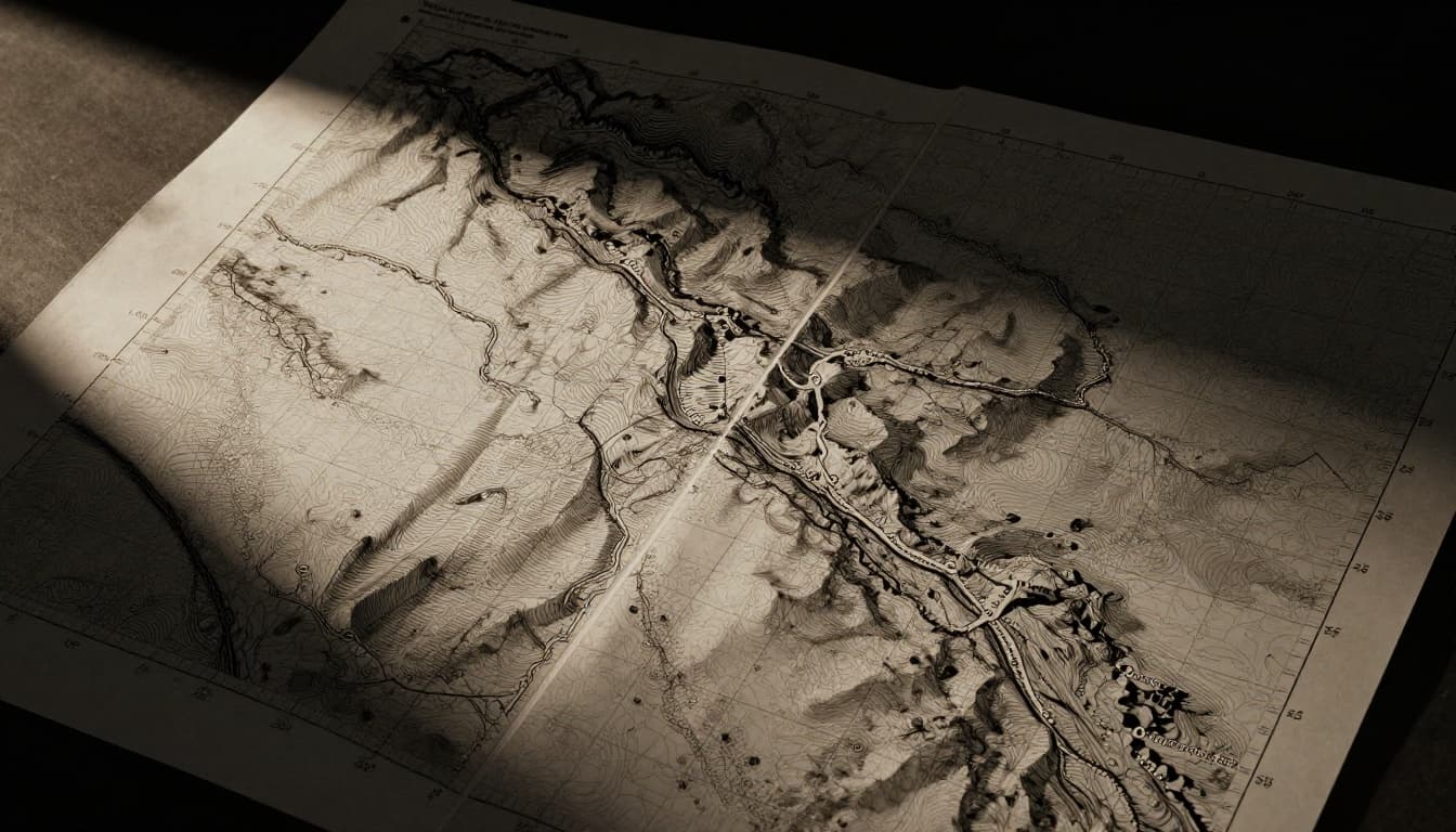
Grids form a network of lines on maps. Horizontal ones run east-west. Vertical ones go north-south. They cross at right angles. Think graph paper stretched over terrain. Each intersection gives a spot.
The main job? Give coordinates. You read numbers along edges. Plot them to find places. This beats eyeballing distances. Grid systems shine for navigation because they measure in meters or degrees.
Maps flatten Earth’s curve. Projections bend grids slightly. Still, they stay close to square for most uses. City maps use numbered streets and avenues as grids. You say “Fifth and Main” for precision.
Take a topo map. Thin blue lines mark grids. Labels show easting (horizontal) and northing (vertical). Easting rises left to right. Northing climbs bottom to top. Simple.
Grids split absolute from relative spots. Absolute means exact coords like 1234567 north. Relative says “one mile east of the oak.” Pros mix both. Hikers lean absolute for GPS backups.
Surveyors need grids for boundaries. Apps pull coords instantly. For example, Esri’s guide on grids and graticules shows how they tick every 1,000 meters. Reliable tools save time.
Grids also aid distances. Match scale bars to grid squares. One square equals one kilometer. Easy math follows. Practice builds speed.
The Surprising History Behind Today’s Map Grids
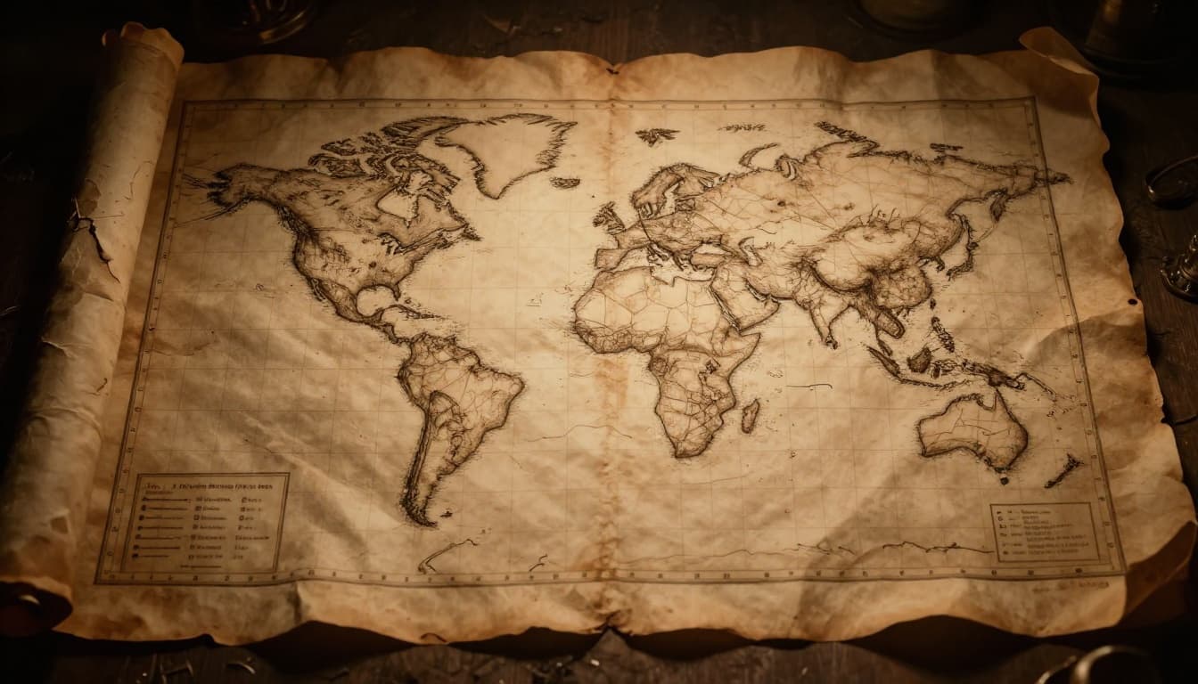
Ancient sailors eyed stars. Greeks sketched early lines around 200 BC. Ptolemy formalized latitude and longitude in the second century AD. His system used degrees from equator and prime meridian.
Romans mapped camps with stakes. Fast forward to 1785. The US Public Land Survey System carved townships into grids. Farmers got square plots. Precision ruled land sales.
In 1884, nations picked Greenwich as zero longitude. Grids went global. World War II changed everything. Armies needed fast targeting. They created UTM in the 1940s. Soldiers plotted artillery in seconds.
Post-war, militaries refined it. MGRS added letters for brevity. Check this history of UTM and MGRS for declassified docs. Gunners drove designs. Meters beat yards for math.
By 1990s, USNG adapted MGRS for civilians. No zone worries in the US. Grids evolved from stars to smartphones. Each step chased accuracy. Wars and land rushes pushed progress.
Key Types of Grid Systems and When to Use Each
Maps offer choices. Pick by need. Global trips favor lat-long. Local hikes suit UTM. Pick right for ease.
Latitude and Longitude: The Classic Global Grid
Latitude runs horizontal. Equator hits 0 degrees. Poles reach 90 north or south. Longitude goes vertical. Prime meridian starts at 0. It spans 180 east or west.
Read lat first, then long. New York City? 40.7128°N, 74.0060°W. Degrees split into minutes and seconds. One minute equals 6,076 feet roughly.
This grid works worldwide. Oceans love it. Flat maps distort curves near poles. Still, apps convert fast.
UTM Grids: Meters of Precision for Detailed Maps
UTM divides Earth into 60 zones. Each spans 6 degrees wide. You get meters. Easting from zone center. Northing from equator.
Example: Zone 11, 500000 easting, 1234567 northing. Calgary sits across zones, so watch shifts. Topo maps print blue ticks.
Hiking thrives here. Measure straight lines easy. Distances stay metric.
MGRS and USNG: Military-Grade Accuracy for Pros
MGRS builds on UTM. Adds letters for squares. Zone, band, square ID, then digits. 18S UJ 2337 0653 nails one meter.
USNG simplifies for America. Drops some letters. Seamless GPS match. Hunters and search teams use it.
| Grid Type | Best For | Precision | Example |
|---|---|---|---|
| Lat-Long | Global, sea | Degrees | 40°N, 74°W |
| UTM | Hiking, topo | Meters | 11U 500000 1234567 |
| MGRS/USNG | Military, emergencies | 1m+ | 18S UJ 2337 0653 |
See MapTools on UTM for USGS maps. Tables like this speed choices.
Step-by-Step Guide to Reading and Using Map Grids
Grab a topo map. Spot grid lines. Edges hold numbers. Practice pays off quick.
How to Plot Coordinates on Lat-Long Grids
Find lat line first. Trace horizontal. Then long vertical. Intersection marks spot. Minutes add detail. 40° 30′ N means halfway to next degree.
Zoom with seconds. Apps show decimals too.
Mastering Easting and Northing in UTM or MGRS
Note zone first. Bottom edge lists eastings. Left side northings. Plot easting horizontal from left. Northing vertical from bottom. Cross them.
MGRS? Letters pick 100km square. Digits refine. This quick MGRS guide walks examples.
Navigation Hacks: From Grid Refs to Your Destination
Measure grid squares for distance. Pair with compass bearing. GPS confirms. Backup saves lives.
Real-World Examples: Grids Powering Adventures and Pros
Hiker in UK grabs OS map. Grid SU 123 456 leads to viewpoint. Exact path follows.
US hunter texts USNG coords. Buddies arrive fast. Military calls artillery via MGRS. Seconds count.
Surveyor stakes land. UTM plots boundaries clean. No overlaps.

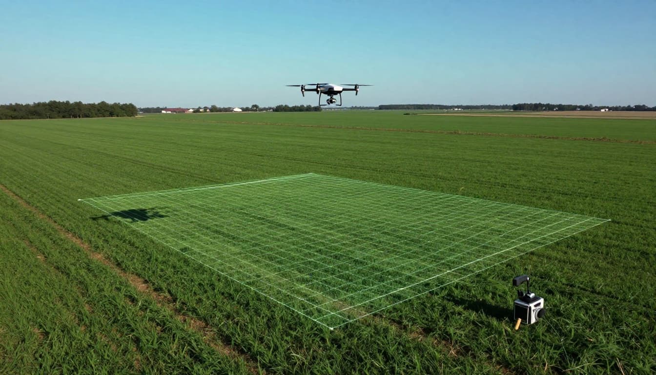
Drones map farms now. Grids align photos perfect.
Avoid These Traps: Common Grid System Mistakes
Watch order. Lat first, long second. Flip them, miss by miles.
Forget UTM zone? Plots jump 500km. Check map collar always.
Swap easting, northing. Go sideways instead of forward. Read edges careful.
Projection twists grids near edges. Stay central for flat areas.
Scale ignores terrain. Grid distance shortens uphill. Adjust with map tools.
Fixes work simple. Double-check labels. Practice dry runs.
Grid Systems in 2026: GPS, Drones, and Beyond
Smartphones read USNG native. Apps convert grids seamless. NSRS updates to NATRF2022 boost GPS one cm.
Drones like DJI Matrice hit RTK precision. Surveys finish hours, not weeks. AI auto-grids data.
Self-driving cars use grids for routes. Emergencies ping exact spots. Grids future-proof adventures.
Grid systems make maps precise tools. You now know types, steps, and tricks. Basics to modern twists covered.
Print a topo map today. Plot coords on your next hike. Share your story in comments. What’s your go-to grid?