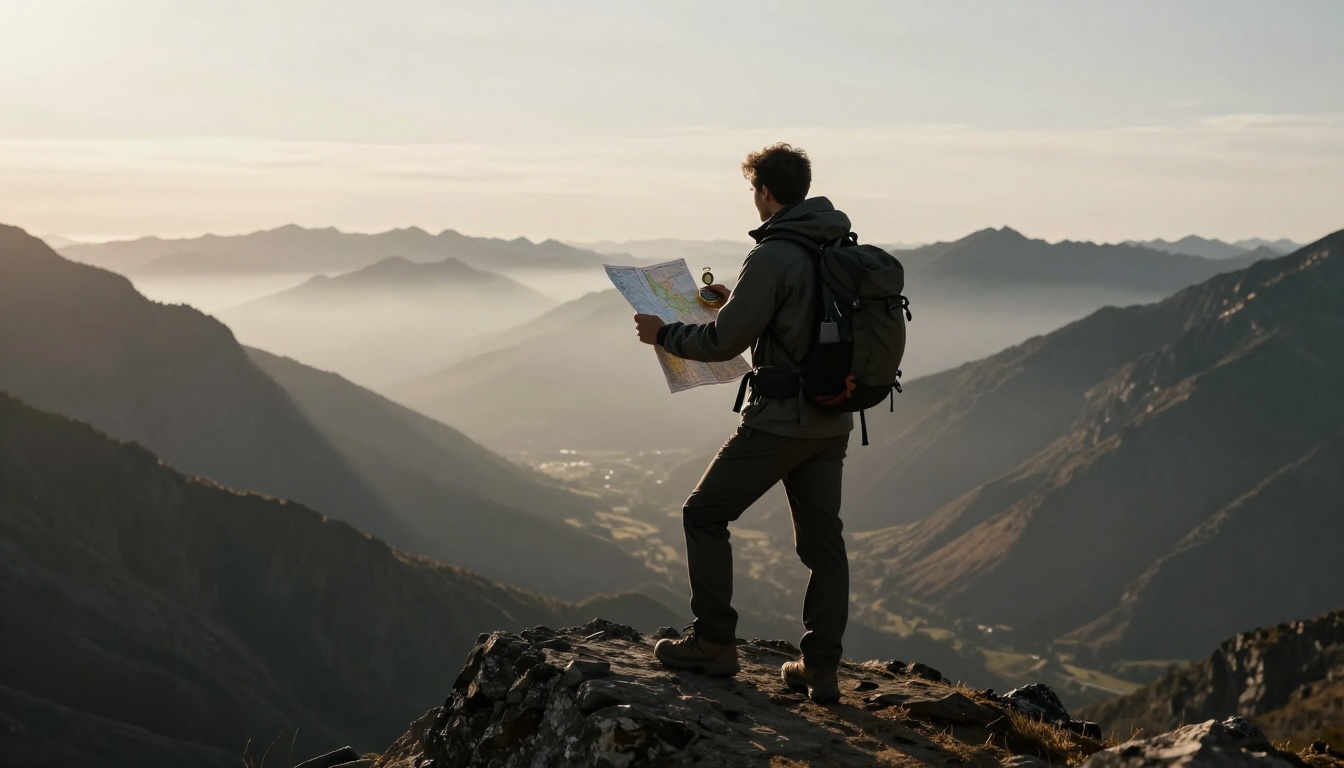
Picture this: you’re on a backcountry hike, phone battery dead, no signal in sight. Panic sets in as the trail fades. It happened to me last summer during a grid glitch that knocked out power for hours.
In 2026, US power lines show their age, with over 70% past prime and cyber threats rising. Blackouts loom larger, so tech fails more often. You need backups that work every time.
Luckily, simple skills like maps, sun tricks, stars, landmarks, and locals keep you on track. These methods build real confidence. Let’s start with the basics anyone can pack.
Build a Foolproof Navigation Kit with Maps and Compasses
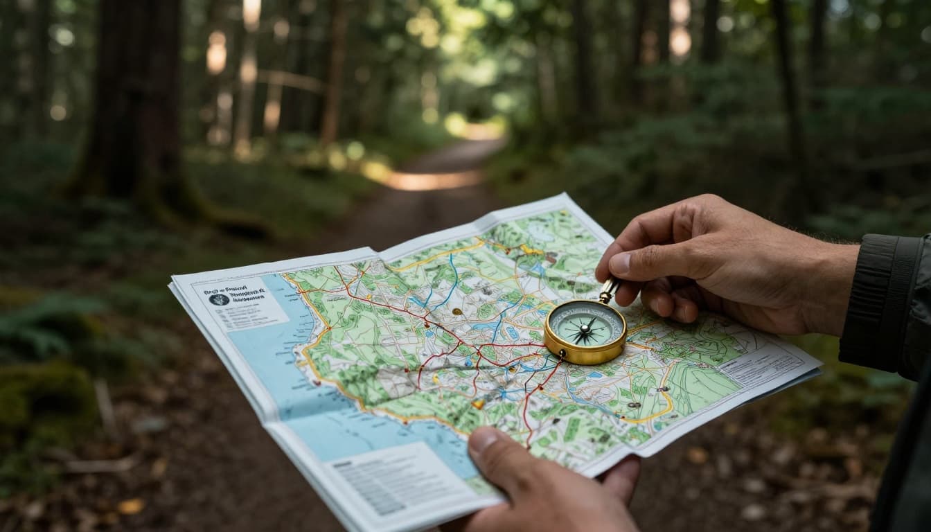
Paper maps and compasses top GPS because they need no power or signal. Grab road maps for highways or topo versions for trails. Practice on short drives first. The process stays straightforward: orient the map, find your spot, plot the route, follow bearings.
Choose and Decode Paper Maps Like a Local
Source maps from gas stations, REI stores, or online for your region. Road maps show highways and towns. Topo maps detail elevation with contour lines; close lines mean steep hills.
Read the scale to judge distances, like 1 inch equals 5 miles. Grids help pinpoint spots. Symbols mark rivers, peaks, or bridges. Match them to real views, such as a bendy river or hill shape.
For quick use, draw strip maps. Note your path, turns, and landmarks like a red barn. Always check the full map for roadblocks. For hands-on basics, check this beginner’s guide to maps and compasses.
Master Compass Bearings to Follow Any Path
Align map north with compass north or the sun. Pick your goal on the map. Set the compass bearing by rotating the dial to degrees, say 45 for northeast.
Walk straight, sighting ahead on that line. Track distance via map mileage or pace counting; 2,000 steps make a mile. Check back often; views reverse confirm direction. Note ups and downs to stay true.
Combine with terrain, like handrails such as streams. Practice saves stress later.
Tap into Nature’s Compass: Sun by Day, Stars by Night
Celestial cues work anywhere, no tools required. They shine as backups worldwide. Northern or southern hemisphere tweaks apply. Test them in your yard first.
Daytime Sun Hacks with Shadows and Your Watch
Pick flat ground. Plant a 2-3 foot stick straight up. Mark the shadow tip with a rock. Wait 15-30 minutes, mark again.
Connect marks; first is west, second east. Stand left foot on west mark for north behind you.
With an analog watch in the north, point hour hand at sun. Halfway to 12 o’clock shows south.
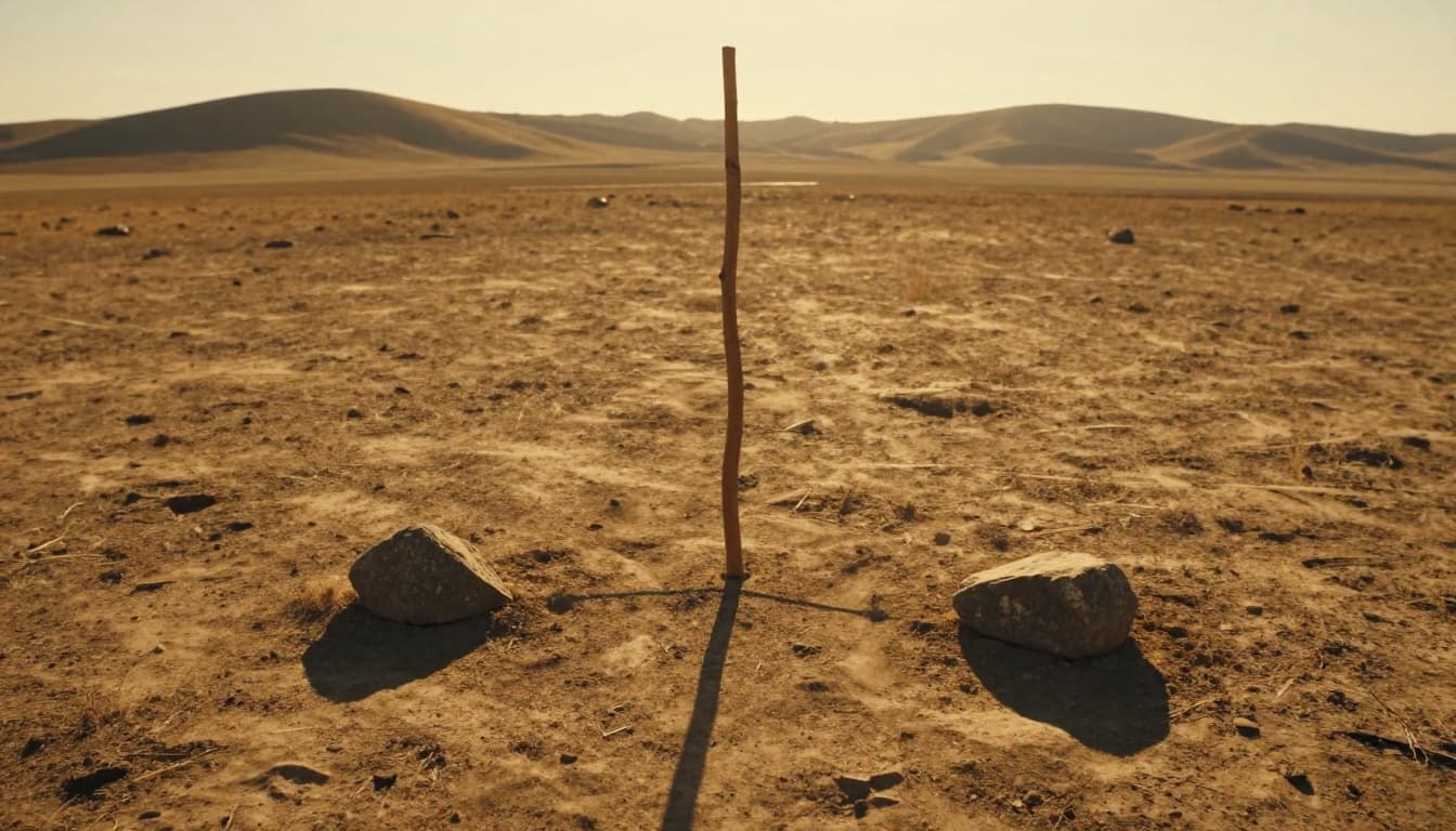
Clear spots work best midday. Clouds slow it, but patience pays off.
Nighttime Star Guides for True North or South
In the north, spot the Big Dipper. Arc from the bowl’s front edge five times its length to Polaris, the North Star.
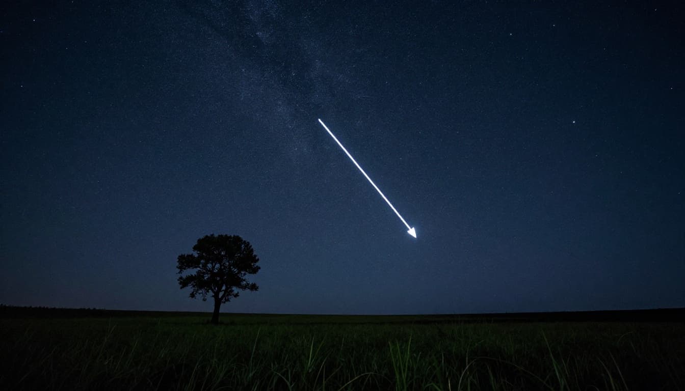
Southern folks use the Southern Cross; extend its long axis to south. Practice clear nights. Stars stay fixed if clouds part.
Pair with compass for best results.
Unlock Everyday Wins with Landmarks, Locals, and Tech Hybrids
Spot patterns and ask around to bridge gaps. Dead reckoning tracks from your last sure spot using time, speed, direction. Blend old and new skills; apps help train.
Read the Land: Rivers, Moss, and Trail Markers
Follow rivers downhill to settlements. Road signs point towns. Big trees or hills guide repeats.
Moss grows thicker north-side in shade, but verify. Build cairns, rock piles, for backtracks. Snap twigs or chalk trees sparingly.

These shine in fog or home turf. For details on pairing with topo maps, see this compass and topo tutorial.
Ask People and Load Offline Apps as Smart Backups
Chat locals politely. Say, “I’m headed to the lake; best way?” They know shortcuts.
Download apps like Gaia GPS ahead for offline topo layers. Check top hiking navigation apps for 2026. Waterproof notebooks log bearings.
Classes like Boulder’s Wilderness Navigator teach these amid blackout prep.
| Method | Best For | Tools Needed |
|---|---|---|
| Maps & Compass | All terrain | Paper map, compass |
| Sun Shadows | Daytime open areas | Stick, rocks, watch |
| Stars | Clear nights | Eyes only |
| Landmarks | Familiar spots | Observation |
| Locals/Apps | Urban or trails | Questions, phone |
Master these, and you’re set. Practice on a short hike; mix two methods. Grab your kit this weekend, try a shadow stick, then share in comments. You’ve got this.