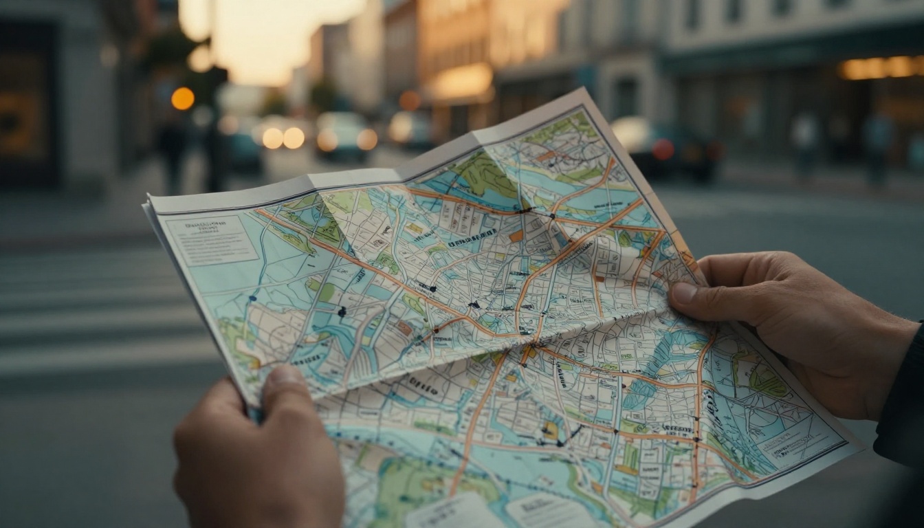
Picture this. You step off the bus in a new city, phone battery dead, no signal in sight. Panic sets in as streets twist around you. Now imagine the opposite. You pull out a street map, glance at a few key parts, and stroll straight to your spot like you’ve lived there years.
That’s the power of reading street maps. GPS apps rule in 2026 US cities, but heavy reliance weakens your sense of direction and brain’s navigation center. Studies show GPS users struggle more with spatial memory than those who use paper maps. Analog skills shine when tech fails, like in crowds or bad weather. They build confidence for walks, bike rides, or drives.
These steps keep it simple. You’ll master the basics, orient fast, spot patterns, and practice hands-on. No more wandering circles. Let’s start with the map’s building blocks.
Spot the Core Elements That Make Any Street Map Easy to Read
Every street map has core parts that unlock its secrets. Ignore them, and confusion hits quick. Check these first: the legend, scale, north arrow, and index. They turn a flat paper into your personal guide.
Start with the legend. It decodes symbols and colors right away. For example, solid black lines mean major roads. Dashed ones show paths or trails. Green shades often mark parks. Blue lines signal rivers or water. Red or yellow highlights business zones. Without this key, you might chase a park thinking it’s a street. Always scan it before you move.
What the Legend and Symbols Tell You at a Glance
Symbols pack big info in small space. Curvy lines stand for one-way streets. Circles or squares mark buildings. Triangles point to points of interest, like museums. Colors separate areas too. Light green means homes. Bright yellow signals shops.
Take a busy block. You see a green blob nearby. Legend says park. Skip across safely instead of hunting pavement. Mistake it for road, and you dodge bushes. For deeper symbol tips, check this guide on map symbols and scale. Practice matches real streets fast.
Next, the north arrow or compass rose sets direction. It shows north, south, east, west. Lines radiate out. Align it, and up means forward. Miss this, and left turns right. Simple fix builds trust.
The index lists streets alphabetically. Numbers match grid lines on edges. Find “Oak Street,” see A-5. Trace to spot. No guessing games.
Use the Scale to Judge Distances Without Guessing
Scale bars show real length. A one-inch line equals half a mile, say. Measure your route with finger or paper. Walking pace covers a quarter mile in five minutes. So two inches means 10 minutes.
Eyeballing fails every time. That close squiggle? Maybe a mile. Practice turns guesswork to fact. Printed maps help most because screens zoom weird. Adjust for hills or traffic later.
These parts form your base. Master them, then layer on orientation.
Orient Your Map Right and Build a Mental Picture of the City
Hold the map wrong, and the world flips. Align it first. North on paper matches north ahead. Turn the map or yourself until lines match reality. Confusion vanishes.
Build a big-picture view next. Scan neighborhoods first. Note major roads that link areas. Spot business strips, green parks, rivers. Connections jump out. Study 10 minutes before leaving. Your brain files it like a photo. On streets, it clicks.

Always Match North on Your Map to the Real World
Find the north arrow. Face north using sun, stars, or phone compass quick. Rotate map so arrow points same way. Streets now match your view.
Wrong alignment tricks you. You think right turn heads east. Actually west. Example: plan left to river. Map off, you veer away. Realign takes seconds. Compass apps work too, but paper builds skill.
Pick Out Landmarks to Anchor Your Location
Landmarks ground you. Tall towers, bridges, big parks stand out. Rivers bend unique. Busy junctions buzz. Use them as stars.
Say your map shows a clock tower north. Spot it ahead. Head there, then left on Elm. Lost a bit? Backtrack to park edge. Check index. Fixed.
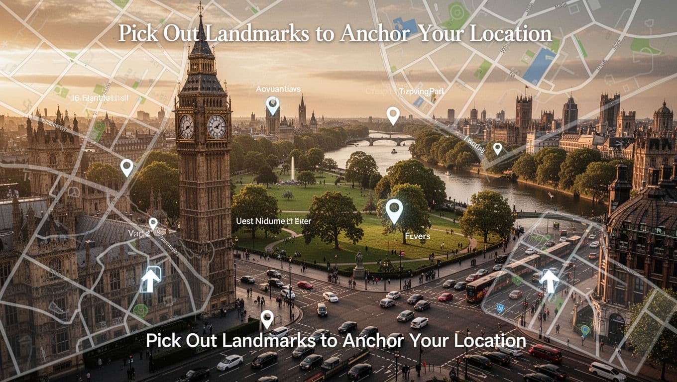
For beginner steps on using features, see this OS map reading overview. It matches street basics well.
Mental map plus alignment equals speed.
Unlock Street Patterns to Guess Addresses and Directions Fast
Cities follow patterns. Spot them, and you predict spots. No need full scan. Numbered streets rise east or north often. First to Tenth. Odds left, evens right. Higher numbers mean farther out.
Alphabetical runs A to Z. Or mixes like trees: Oak, Pine. Grids break at highways or water. Sequences reset there.
Estimate position quick. Need 500 Main? Numbers climb south, so halfway block. Patterns cut lost time. Practice on home map first.
Spot Numbered or Alphabetical Street Grids
Grids rule most US blocks. Numbers sequential. Cross streets alphabetical. River resets count. Trace route on copy. Note odds evens rule.
Example: 1200 Oak east of 1000. Park midway? Halfway block. For road map patterns, try these five simple steps.
Highways slice grids. Note exits as pivots. Soon, you guess without index.
Practice These Hands-On Drills to Navigate Without a Hitch
Skills grow with use. Grab printed maps over apps. GPS hides learning. Start short routes. Time them. Build to new areas.
Slightly off? Stop. Reorient north. Find landmark. Check index. Adjust. Repetition shrinks map checks. You glance once, go.
Time Your Walks to Master Real-World Map Distances
Pick spots 10 minutes apart. Note map scale distance. Walk brisk. Time actual. Faster? Note pace. Hills slow you.
Repeat varied paths. Intuition hits. One mile quarter hour flat. Builds for cities or hikes. Detailed drills in this PDF guide fit streets too.
Pro status comes quick. Enjoy the views GPS skips.
Master map elements, align with north, use landmarks and patterns, then drill daily. These steps beat GPS fails in 2026’s packed cities. Grab a local map this weekend. Test a neighborhood loop.
Share your first win in comments. What street tricked you most? Subscribe for more real-world tips. You’ll navigate anywhere with ease.